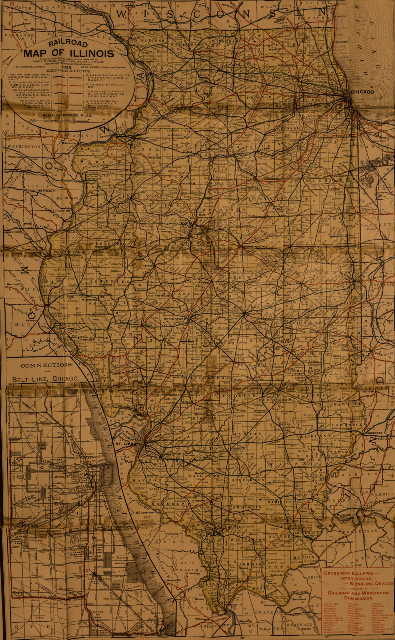
We have a large selection of historic maps for the area | ||
|  |
The Society's map collection includes 300+ documents ranging from the mid-1800's to the late 1990's. One will find geological surveys; plat maps of Jackson County's towns and townships as well as plat maps of neighboring counties' towns and townships; plat maps of Jackson County cemeteries; general highway maps; Mississippi River navigation charts; railroad map; surveys; Shawnee National Forest maps; topographic maps; Kinkaid Lake survey documents; and Greater Egypt Regional Planning & Development Commission documents.
 |  |


